 East
Eastthe eastern part of town where yo can view the dawn against the kalis mountain.
 North
Norththe northern part where most of the old 'destinos' are located going inside the bay. panoramic view
 South
Souththis area is the mountain top itself where you can see its magnificent picturesque panoramic view
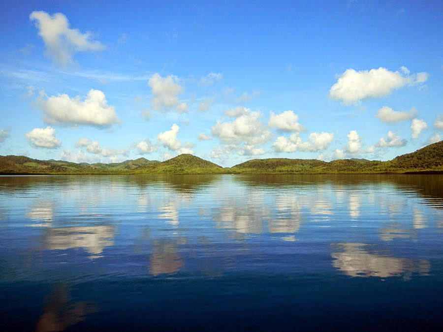
 West
Westthe place is the inner bay where large areas of mangroves are being preserved at least this time.
panoramic views in different angles


ISLA CULION
the island resorts around culion
 Calupitpit resort (southeast)
 Dikalatan island (north)
 pebble island
 Sand island (east)
 Malcapuya resort (east)
 dikabaiyuto (south)
 Galoc - facing China Sea (west)
 Kalis (east)
 Dalatan Galoc (west)
 Long Beach island (back side of culion - west)
 Malcapuya (east)
 Cheeron beach (east-west)
 Malcapuya (east)
 Dicabayutot (rock formation - south)
 (south)
poblacion
 Culion hill - overlooking the church
 the landmark of Culion - Agila
 agila
agila
,,,,,
 Quaming island against Sangat island (north-east)
 Sangat rock with pang on the background (north east:)
 Kayangan lake - the neighboring Coron (east)
 Palawan Cobra on Cabulihan swamp mangrove entrance (south-west)
 Local Canoe
 Local kayaking
 Sailing
 Cheeron 1 beach (east-south)
 starfish
 Sangat resort (north-east)
 Balanga (old bridge) north
 Balanga waterfalls (north)
 Cheeron island (east-west)
 Kalis rock island (east)
 Fortress of Culion
 Full moon taken at the back of our house in barangay Culango :))
 the Church


 Culion Tower landmark
..........................
cool culion emerging from its historical past
the dream of becoming tourist haven


//////
mangrove park


No comments:
Post a Comment